Mapping a new way to experience Sun Prairie
More than 40 years after the idea first appeared in City plans, the Sun Prairie Bike Loop became a reality. The new 23-mile recreational route connects parks, neighborhoods, natural areas, commercial districts, and community destinations throughout Sun Prairie.
The ask
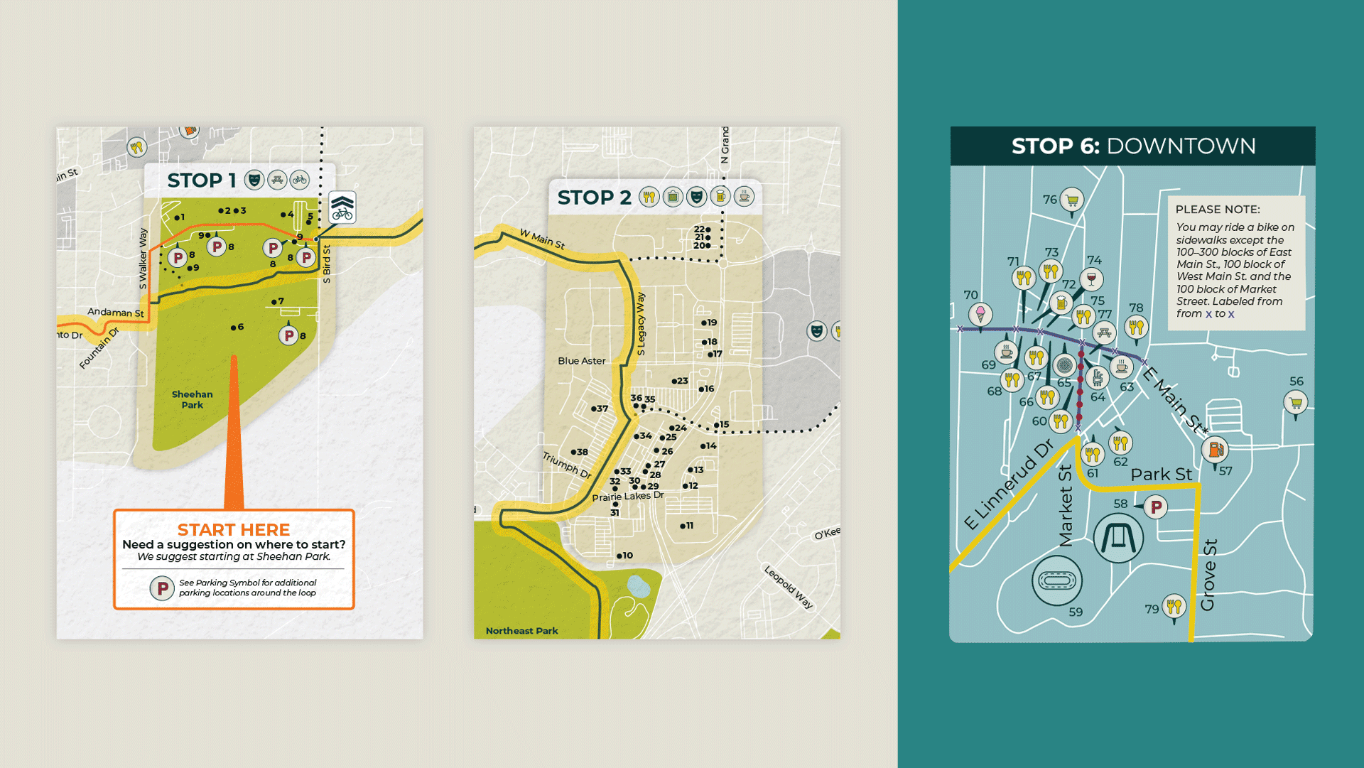
The City of Sun Prairie turned to AFFIRM for our experience in transportation, mapping, and wayfinding to develop a branded bike map for its new recreational Bike Loop. The goal was to create an easy-to-use resource that would help residents navigate the route while encouraging visitors to explore Sun Prairie and support local businesses along the way.
The process
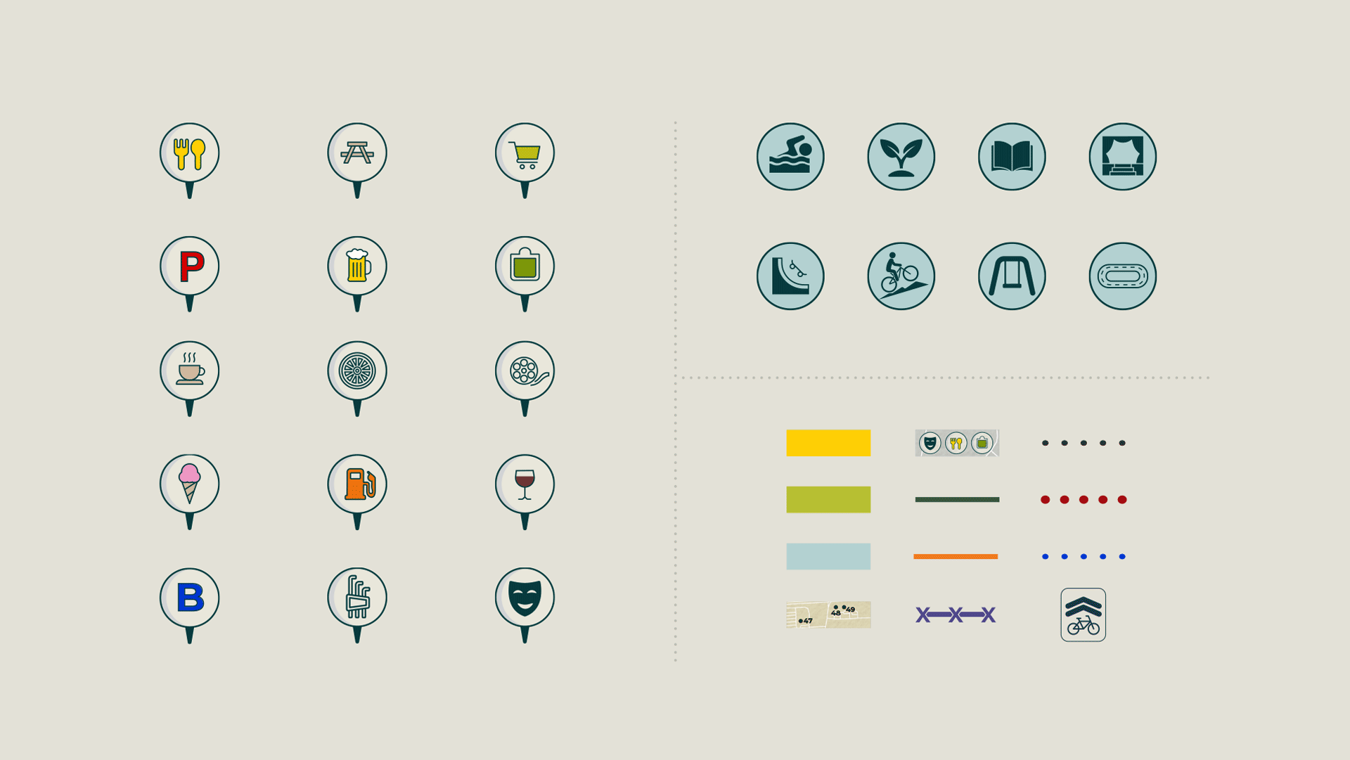
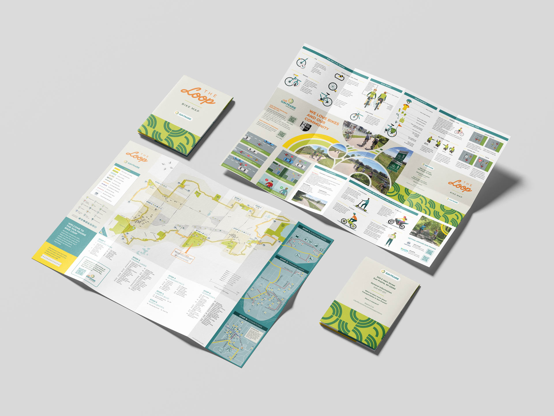
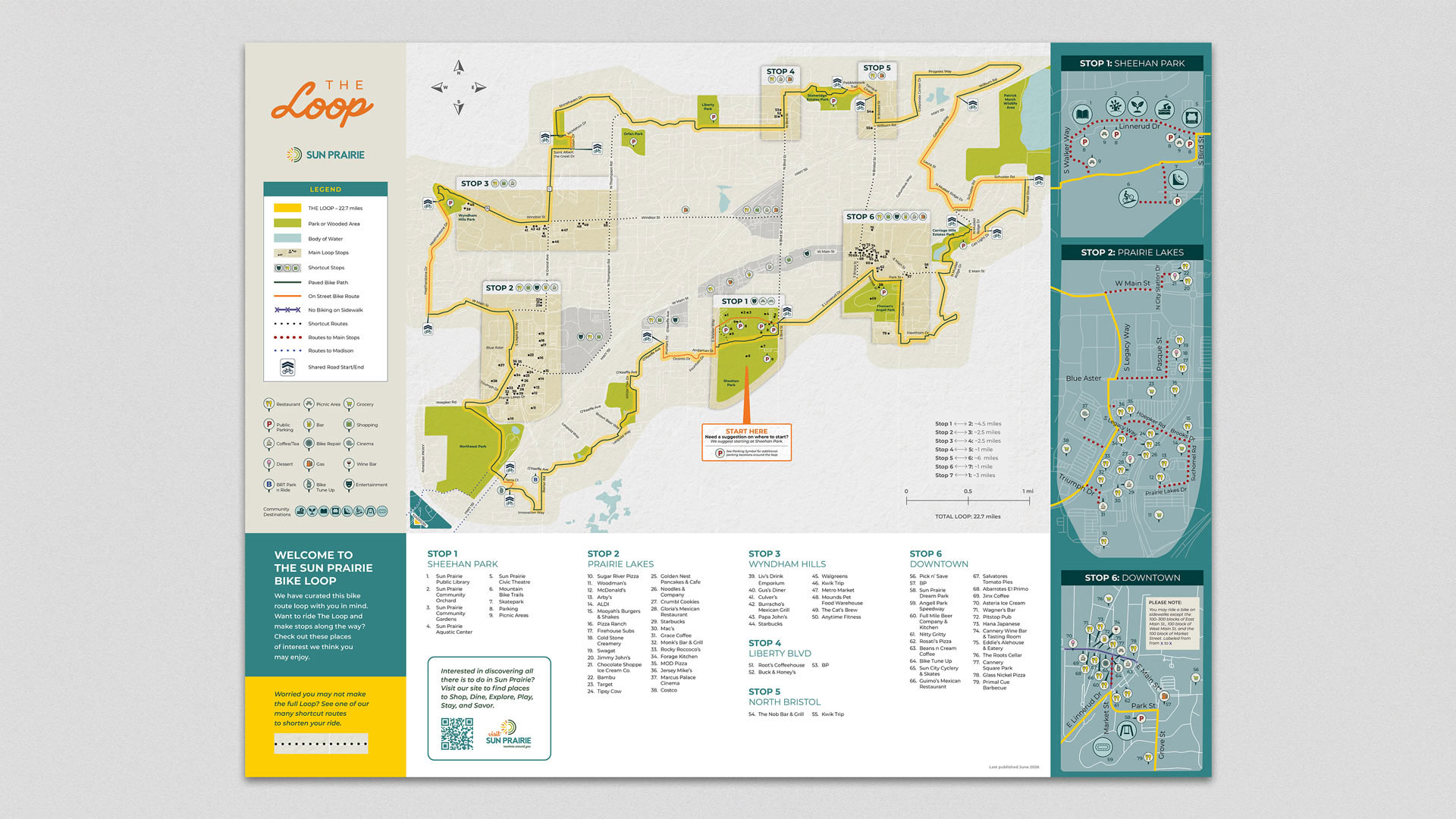
AFFIRM worked closely with the City to turn complex GIS data and a long list of community destinations into an approachable rider experience. We developed the Loop’s visual identity and designed a map featuring suggested stops, shortcuts, parking, parks, attractions, restaurants, shopping, and other amenities, giving riders the flexibility to make the Loop their own. The reverse side extends the experience with bike safety, maintenance, and riding tips, along with connections to additional Sun Prairie resources.
The result
Sun Prairie officially opened the Loop in June 2026 with a community ribbon cutting and inaugural ride. Together with new wayfinding signage and sharrows installed throughout the route, the finished map provides a lasting resource for residents while helping position Sun Prairie as a destination for cyclists to ride, explore, and experience the community for years to come.
Brand Exploration

Bike Map
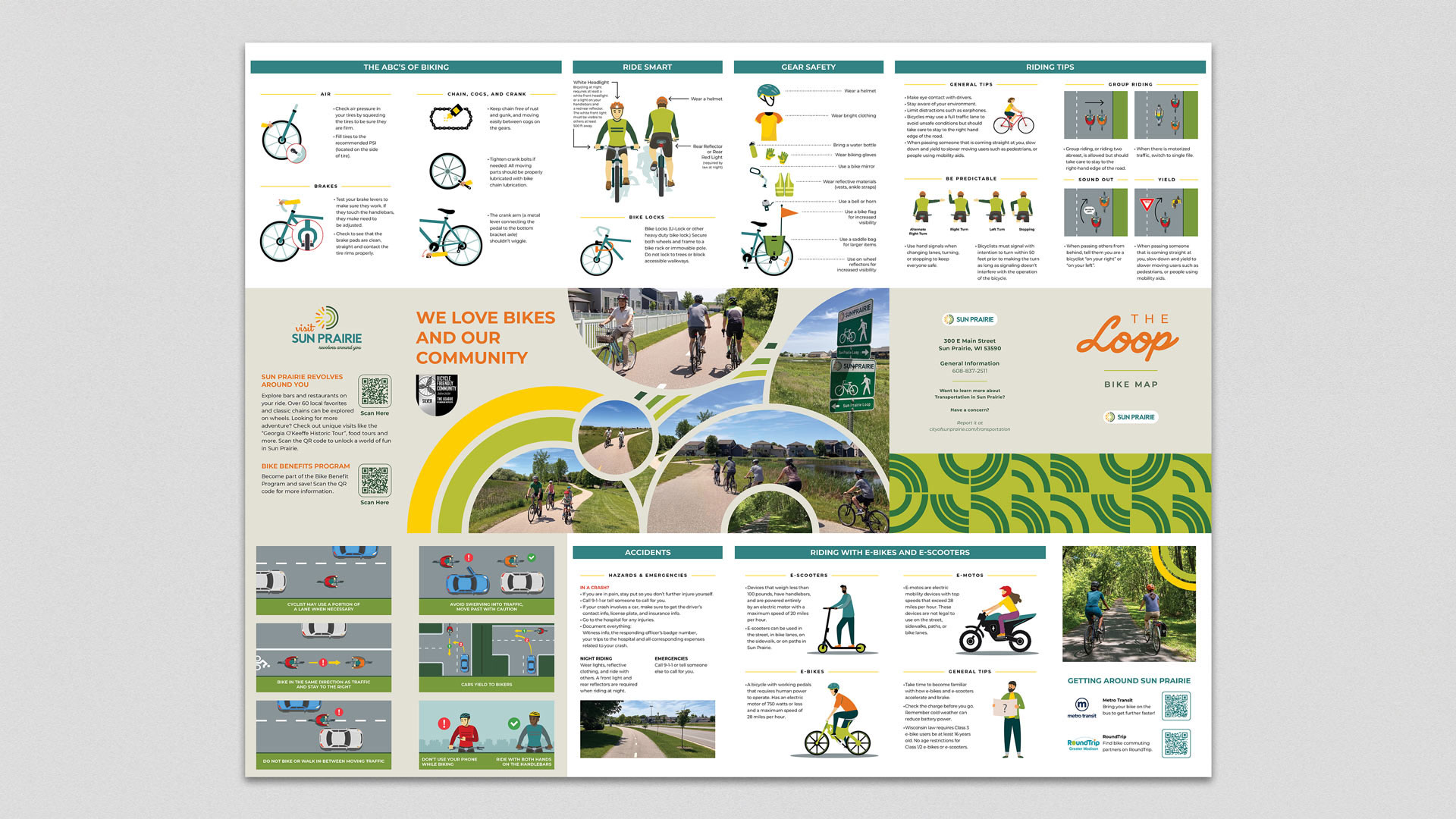
Patterns and Custom Illustrations
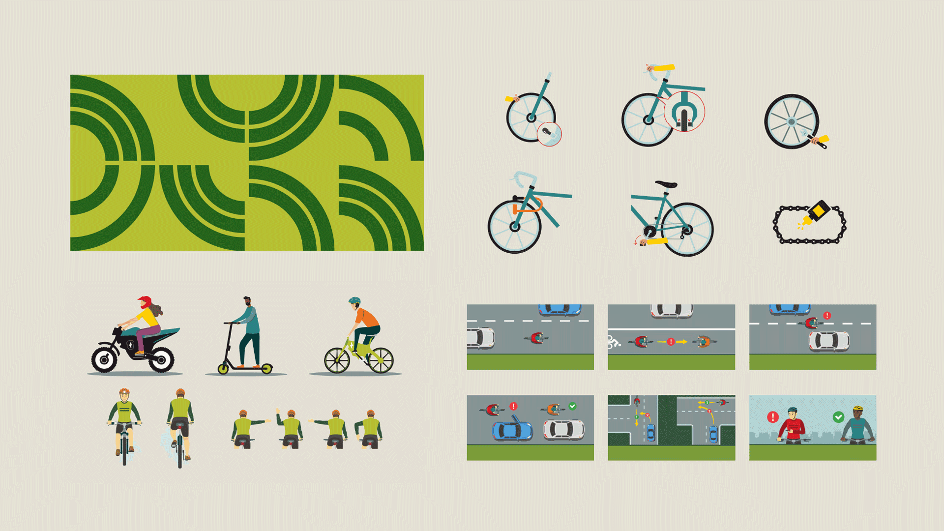
Custom Icon Design